With cider season winding down, southeast Michigan now turns its attention to what kind of winter might be ahead. The National Oceanic and Atmospheric Administration (NOAA) has released its 2025–26 Winter Outlook. It paints a mixed picture for our region, one that leans toward above-normal precipitation and slightly cooler temperatures compared to average.
What the Maps Show
NOAA’s Seasonal Precipitation Outlook for December 2025 through February 2026 shows Michigan shaded in light green, which means a greater chance of above-normal precipitation. For our part of the state, that translates into an increased likelihood of wetter conditions, meaning more snow, rain, or a mix of both.
At the same time, the Seasonal Temperature Outlook places much of the Great Lakes region in the “equal chances” zone, meaning forecasters see roughly even odds for temperatures being above, below, or near normal. However, northern parts of the Midwest lean slightly cooler than average, suggesting southeast Michigan could also trend that way depending on storm patterns and jet stream shifts.
What “Above,” “Below,” and “Equal Chances” Mean
The NOAA maps use three categories, Above (A), Below (B), and Normal (N), to describe the most likely outcome for temperature or precipitation over a three-month period. These categories are based on 30 years of historical data (1981–2010).
For example, if a region is marked “Above” with a 40–50% probability, that means there’s a stronger-than-normal chance for that category, while the remaining probability is split between near-normal and below-normal outcomes. If an area is labeled “Equal Chances (EC)”, there’s no strong signal pointing toward one outcome. In other words, average conditions are just as likely as extremes.
What This Means for Southeast Michigan
For southeast Michigan residents, this winter forecast suggests:
- More precipitation: likely meaning a better chance for snow cover and fewer prolonged dry spells.
- Temperatures hovering near average: but possibly dipping cooler at times, depending on how northern systems track.
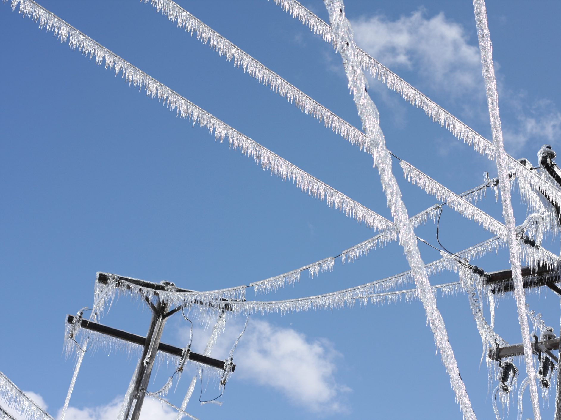
- Potential for active weather: with frequent swings between snow, sleet, and rain as storm systems move through the Great Lakes.
In short, while not pointing toward a record-setting winter, the outlook hints that Michigan could see a more traditional, snowier season, a change from some of the milder winters of recent years.
A Long-Range Forecast, Not a Guarantee
NOAA forecasters emphasize that these maps don’t predict day-to-day weather, only general trends over the three-month period. The probabilities reflect climate influences like El Niño or La Niña, long-term patterns that tilt the odds one way or another.
As we move closer to December, short-term forecasts will provide a clearer picture. But for now, Michiganders might want to make sure the snowblower starts and the shovels are ready — this winter looks poised to deliver a healthy dose of classic Great Lakes weather.


 8123 Main St Suite 200 Dexter, MI 48130