
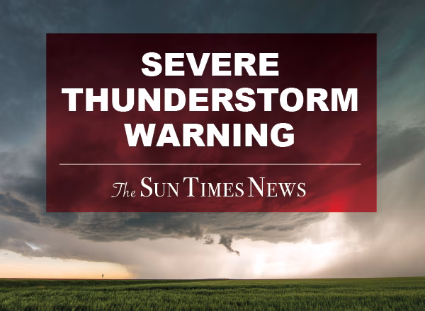
A Special Weather Statement has been issued for Livingston and Washtenaw counties, effective until 5:00 PM EDT today, warning of strong thunderstorms with winds exceeding 40 mph and pea-sized hail. Residents are urged to seek shelter as gusty winds may cause minor damage and blow around unsecured objects.
At 323 PM EDT, Doppler radar was tracking strong thunderstorms along
a line extending from near Williamston to 7 miles northwest of Grass
Lake to near Cement City. Movement was northeast at 30 mph.
HAZARD…Winds in excess of 40 mph and pea size hail.
SOURCE…Radar indicated.
IMPACT…Gusty winds could knock down tree limbs and blow around
unsecured objects. Minor damage to outdoor objects is
possible.
Locations impacted include…
Ann Arbor, Ypsilanti, Hartland, Howell, Saline, Brighton, Milan,
Chelsea, Dexter, Fowlerville, Pinckney, Manchester, Hamburg, South
Lyon, Salem, Cohoctah, Gregory, Dixboro, Oak Grove, and Whitmore
Lake.


 114 North Main St Suite 10 Chelsea, MI 48118