


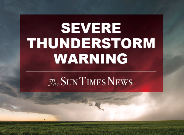
A Special Weather Statement has been issued for Washtenaw, Lenawee, and Monroe counties from 6:00 PM to 6:45 PM EDT, warning of a strong thunderstorm with wind gusts up to 50 mph and nickel size hail, posing risks of tree limb damage and localized flooding. Residents are advised to seek shelter indoors and avoid driving through flooded roadways.
At 600 PM EDT, Doppler radar was tracking a strong thunderstorm over
Tecumseh, moving southeast at 15 mph.
HAZARD…Wind gusts up to 50 mph and nickel size hail.
SOURCE…Radar indicated.
IMPACT…Gusty winds could knock down tree limbs and blow around
unsecured objects. Minor damage to outdoor objects is
possible.
Locations impacted include…
Tecumseh, Blissfield, Britton, Ridgeway, Macon, Cone, Tipton, and
Holloway.


 114 North Main St Suite 10 Chelsea, MI 48118