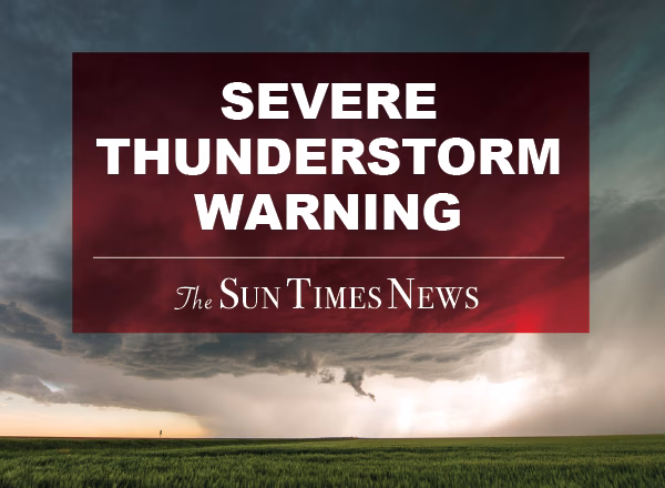
A Special Weather Statement has been issued for Oakland, Washtenaw, and Wayne counties, effective from 9:16 PM to 10:15 PM EDT, warning of strong thunderstorms with wind gusts up to 50 mph that could result in downed tree limbs and unsecured objects being blown around; residents are urged to seek shelter indoors.
At 915 PM EDT, Doppler radar was tracking strong thunderstorms along
a line extending from near Holly to near Novi to near Saline.
Movement was east at 25 mph.
HAZARD…Wind gusts up to 50 mph.
SOURCE…Radar indicated.
IMPACT…Gusty winds could knock down tree limbs and blow around
unsecured objects.
Strong thunderstorms will be near…
Ann Arbor, Novi, Ypsilanti, Saline, Canton, Northville, Salem, and
Dixboro around 920 PM EDT.
Livonia around 925 PM EDT.
West Bloomfield around 930 PM EDT.
Southfield and Pontiac around 935 PM EDT.
Romulus, Birmingham, and Belleville around 940 PM EDT.
Troy and Royal Oak around 945 PM EDT.
Dearborn around 950 PM EDT.
Taylor, Rochester, and Detroit Zoo around 955 PM EDT.
Other locations impacted by these storms include Franklin, Keego
Harbor, Waterford, Orchard Lake, New Boston, Commerce, Lathrup
Village, Auburn Hills, Bingham Farms, and Farmington Hills.


 114 North Main St Suite 10 Chelsea, MI 48118