A global weather pattern that helps shape Michigan’s winters is beginning to weaken.
According to a new report from the National Oceanic and Atmospheric Administration’s Climate Prediction Center, La Niña is expected to transition to neutral conditions by late winter, with a 75 percent chance the shift occurs between January and March.
La Niña forms when surface waters in the Pacific Ocean are cooler than normal. Though far from Michigan, those conditions influence the jet stream, often bringing sharper temperature swings and periodic cold outbreaks to the Great Lakes region.
That influence has been present at times this winter, but NOAA scientists say signs beneath the Pacific Ocean now point toward warming, an indication that La Niña is losing strength.
For Southeast Michigan, the move toward neutral conditions typically means fewer prolonged cold stretches and more variable weather, rather than a single dominant winter pattern. Snow and cold remain possible through February and into March, but extended cold snaps become less likely as the season progresses.
As La Niña weakens and conditions move toward neutral, Southeast Michigan loses a strong temperature signal. That makes mixed precipitation more likely for the rest of winter.
Instead of long stretches that are cold enough for all snow, or warm enough for all rain, storms are more likely to arrive right near the freezing line. That’s when precipitation type depends on timing, elevation, and even the time of day.
Practically speaking, that means:
- Snow is still very possible, especially at night or during brief cold shots
- Rain becomes more likely during daytime storms or warm air surges
- Wintry mix event, snow changing to sleet or rain become more common
- Icing risks increase when temperatures hover around 32 degrees
This pattern is typical for late winter in Southeast Michigan, but a fading La Niña can increase the frequency of flip-flop storms rather than clean, all-snow events.
For residents, the impact isn’t just inconvenience. Mixed precipitation is often harder on roads, power lines, and drainage systems than steady snow, and it complicates plowing and salt operations.
In other words, winter isn’t over, but how it shows up may keep changing from storm to storm.
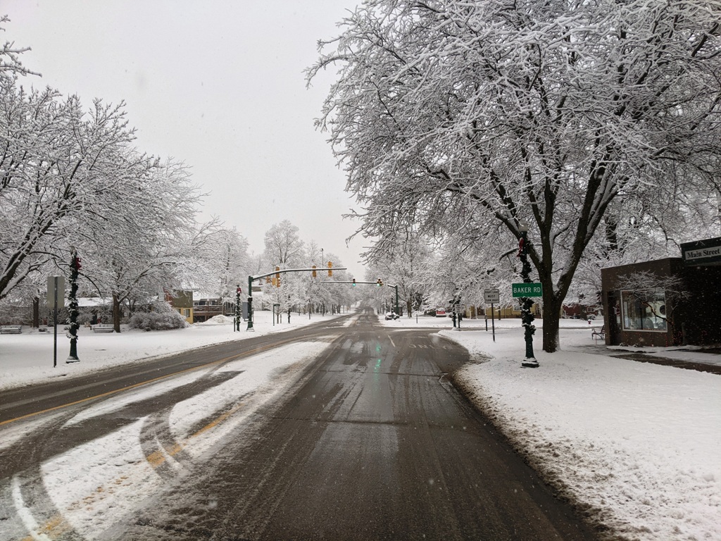
Photo: Main Street Dexter after a wet snowfall. Photo by Doug Marrin


 8123 Main St Suite 200 Dexter, MI 48130